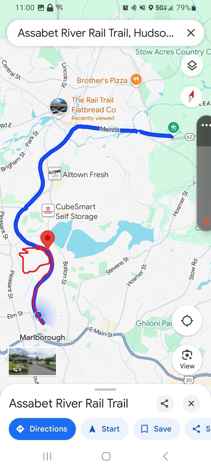
The Traillink page linked in the first sentence up there links to a map that you have to register to see. I’m not doing that, but you can see a thumbnail of the official trail, anyways. I used the Google Maps version of the trail, which seems radically different. No problem—it showed me where the parking lot is at the southern end of the trail.
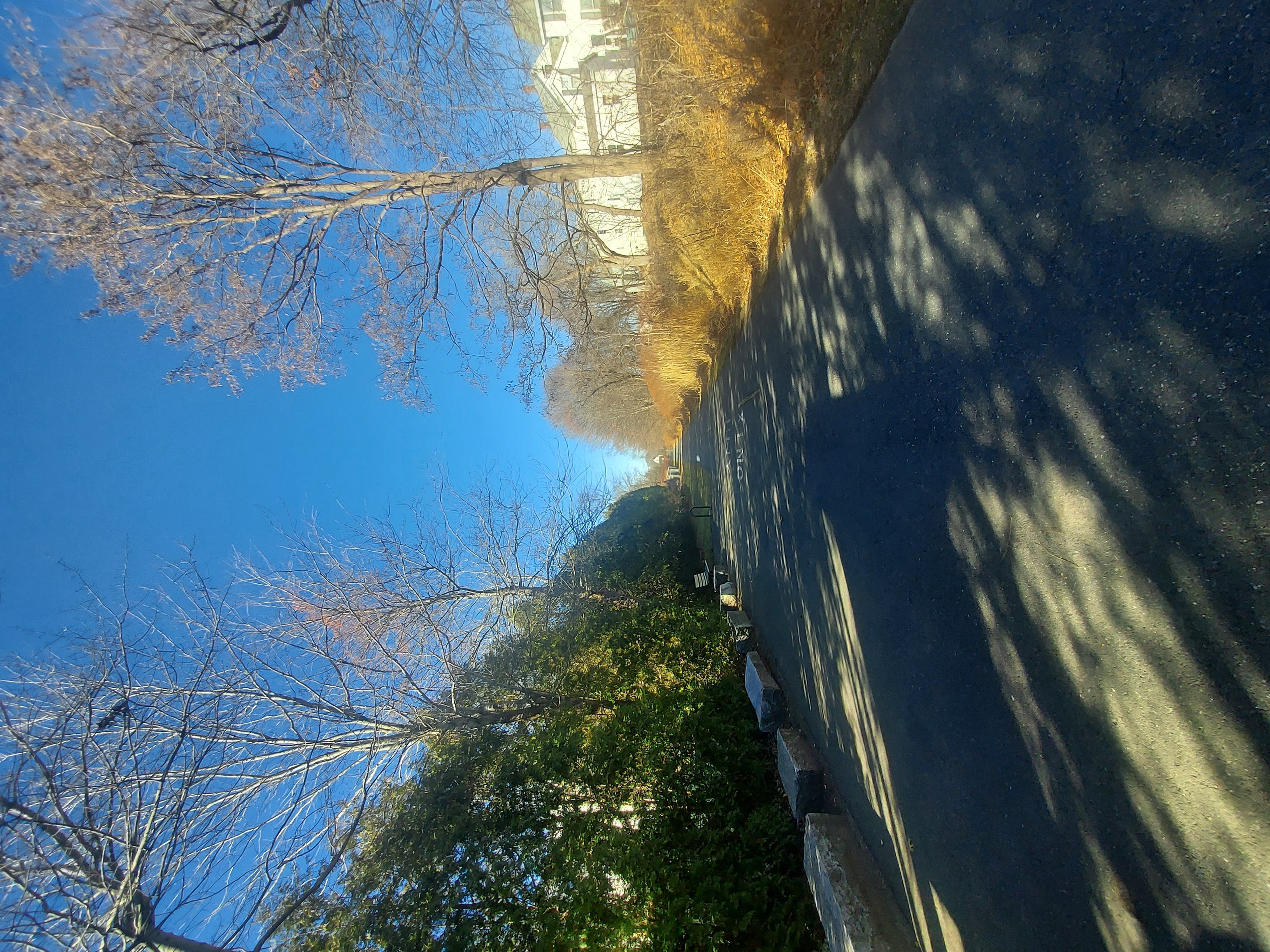
The main part of the trail is like a paved mini-street, obviously in favor of cyclists, but there’s no reason you can’t walk or run it. In fact, when I went I didn’t see. It was during the middle of a weekday, so there weren’t many folks there to begin with.
EDIT: Before the hike, I had eaten dinner at the Rail Trail Flatbread place you see on the map, which is why it was on the map in the first place. Nice place. I should also point out that the northernmost part of the trail that parallels Main Street goes right by where my high school used to be. There’s a Walgreens on the property now.
The red line here on the map is the artist’s (my) rendition of where I walked. There was a trail head for a secondary route through the woods, hence the squiggly red break from the main blue path:
I walked from the parking to the southern end and took this, facing north:
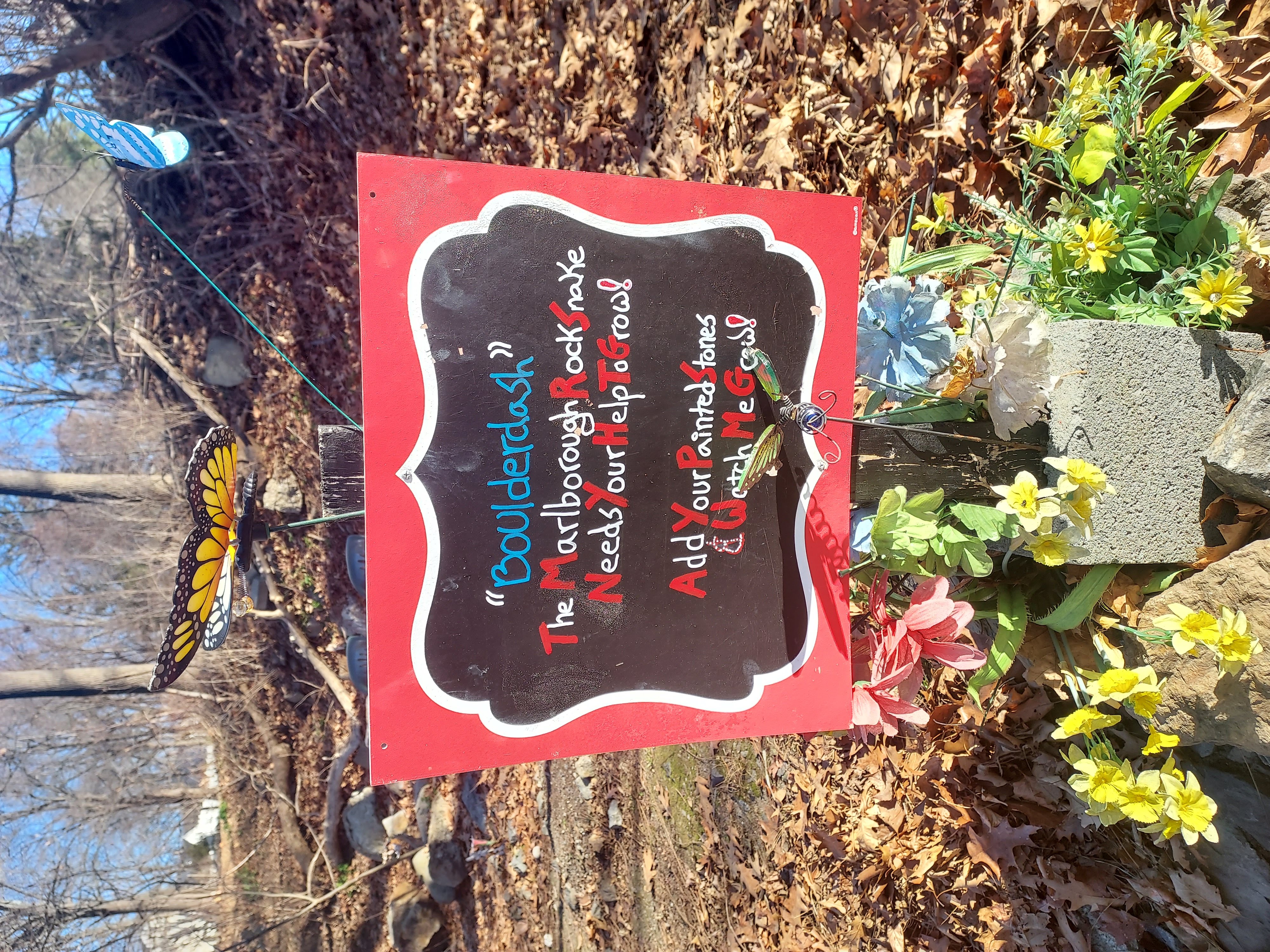
The “snake” indicated by this sign was kinda covered with leaves and I was too lazy to brush it off to take a photo:
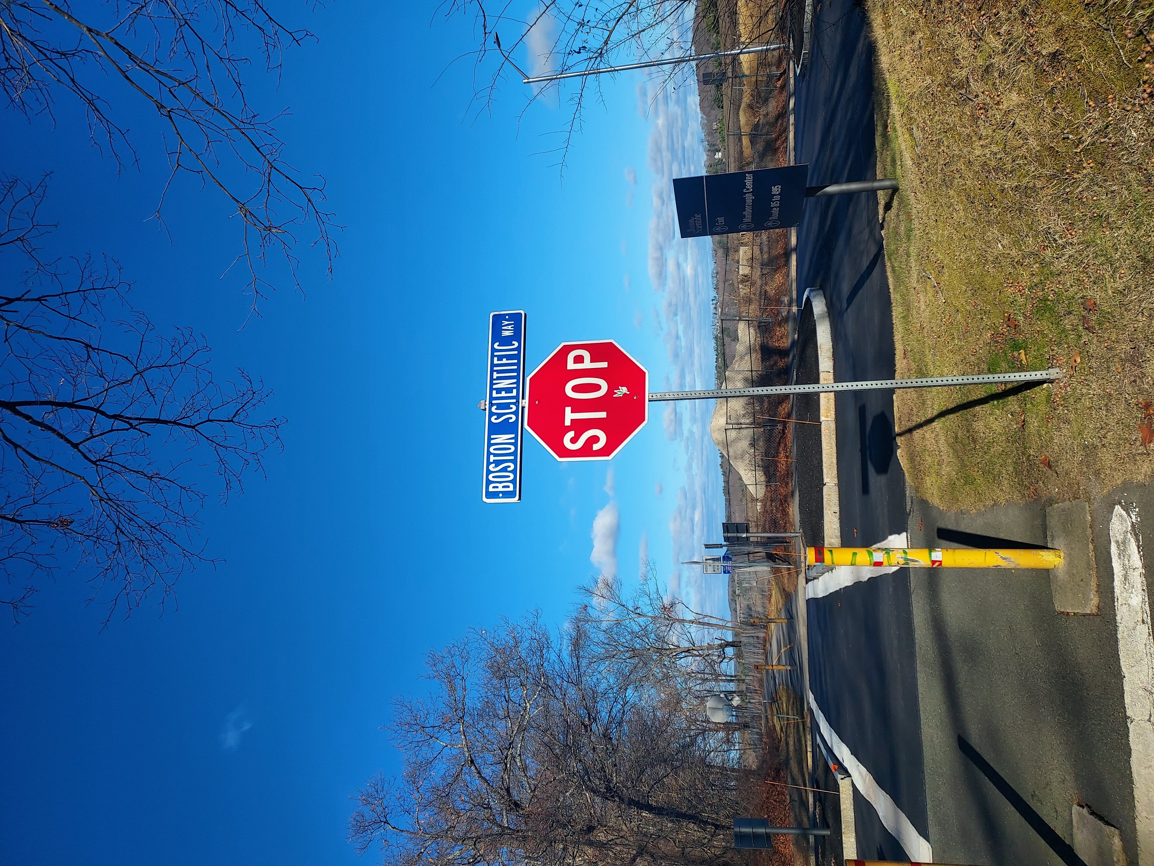
I crossed over Boston Scientific Way here, right where BS has their headquarters. This was kind of a surprise for me even though it was established a decade ago. I guess it’s easy to lose your bearings sometimes. In the distance is a new park being developed from the Hudson Landfill (I think):
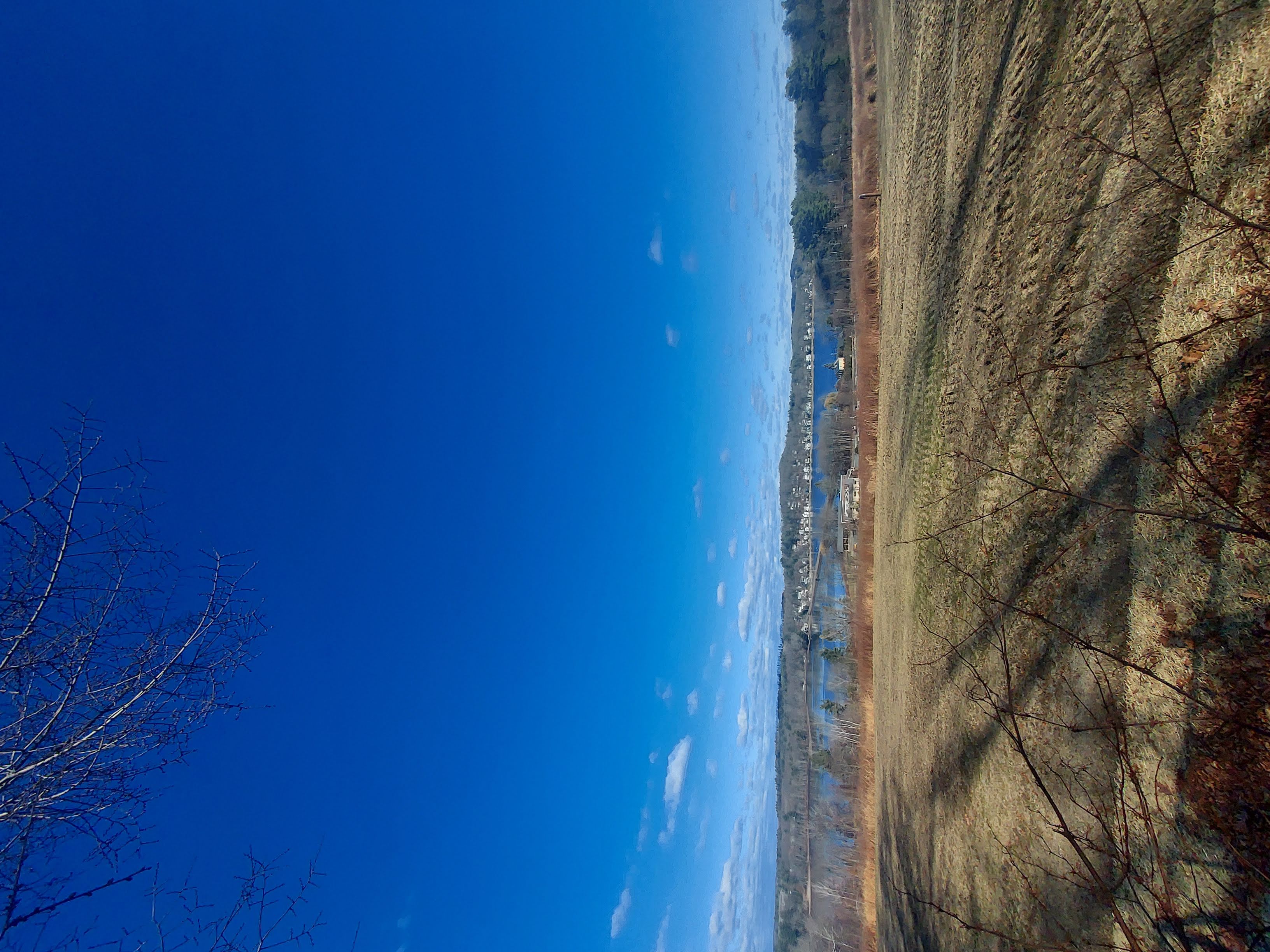
Fort Meadow Reservoir. I doubled back after this photo and went to the trail head:
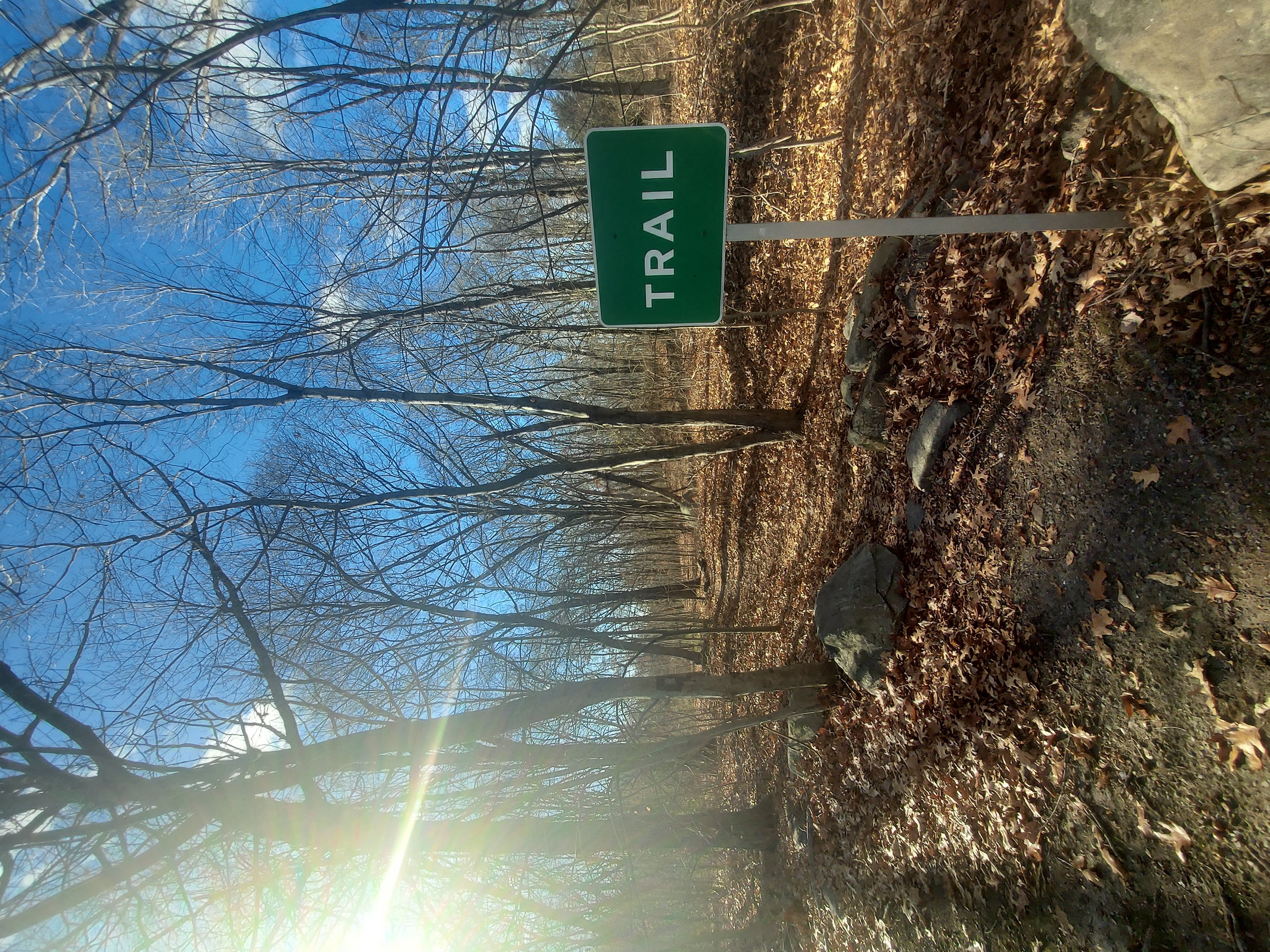
“TRAIL”:
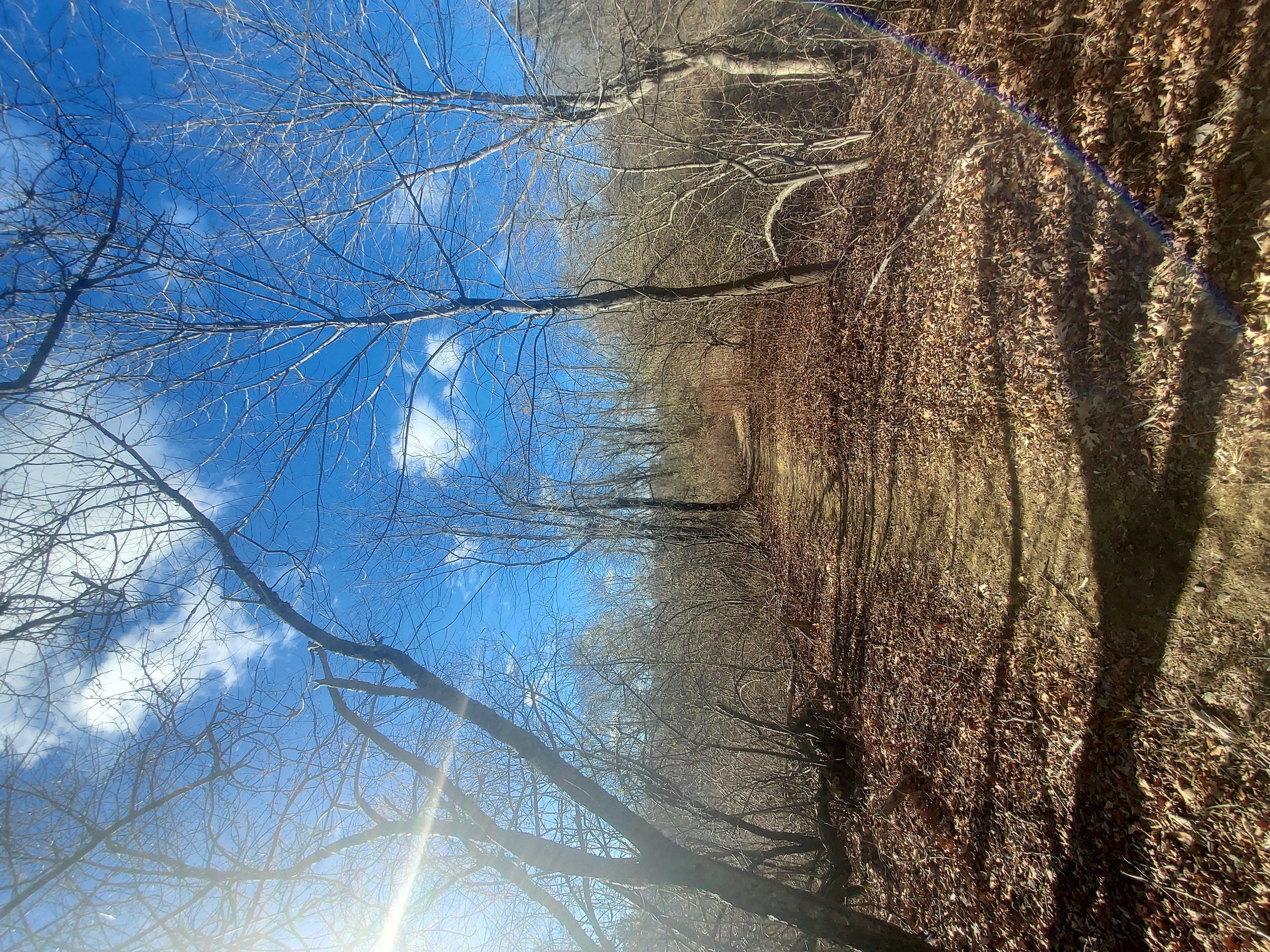
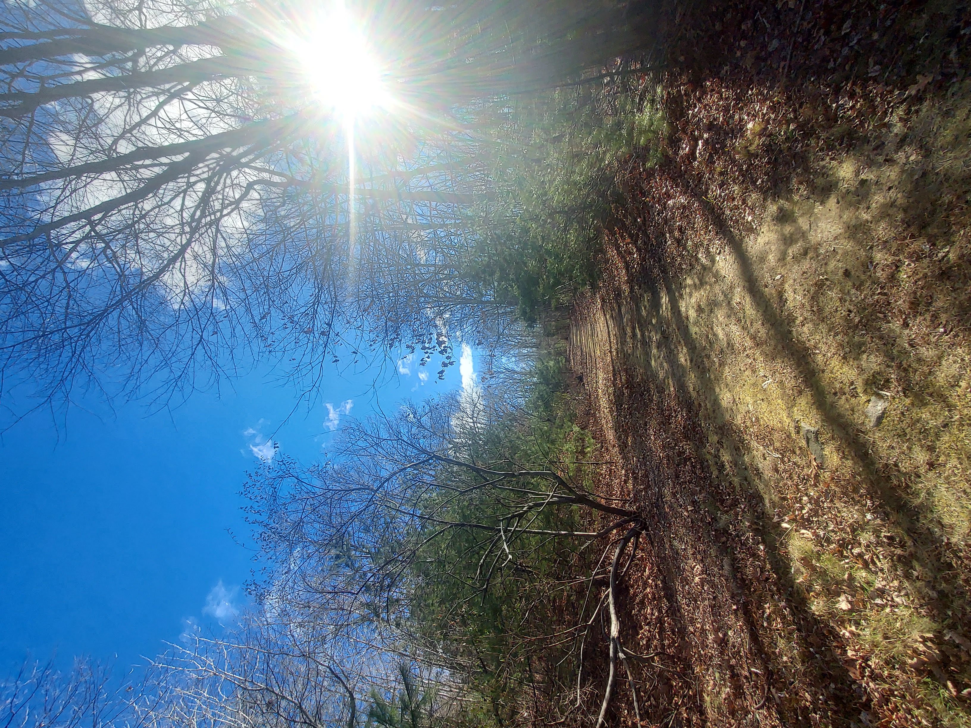
I meandered off the trail at a certain point, through a large clearing, since I didn’t know how long this part of the trail would continue, and ended up on Boston Scientific Way, right at the headquarters. Center left you can see a spinny wind and solar powered streetlight:
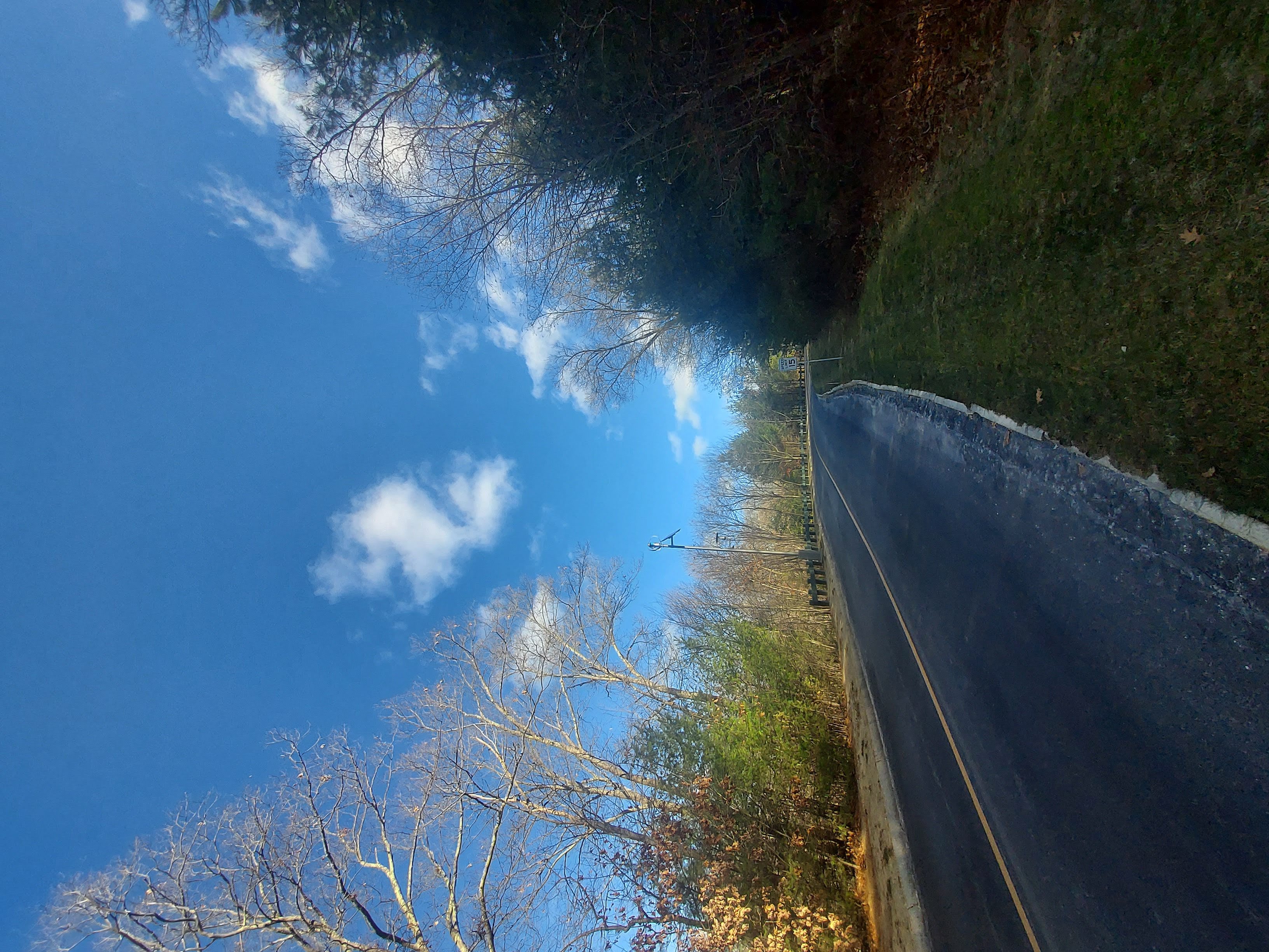
The end…a view right near the parking lot, facing towards the southern tip of the trail:
3 Comments
I’ve never been to Massachusetts, but I was warned they do trail development very differently from my part of the US. I suppose their sensibilities are quite different on some things. At any rate, you’ve got some good shots here. I keep thinking we need drones to get better shots some day. It would be a whole lot easier to capture the layout of things.
The trails are likely much different than OK, due to MA’s hilliness and the fact that it’s very developed. Probably the politics as well.
Drone shots would be interesting but a part of me wants some of it to remain a mystery. Not sure why.
I looked it up on Google Earth. The terrain is much more hilly on Street View than the alleged 3D rendering of Google Earth itself shows. Despite what I’ve said over the years about imaging and the Hebrew outlook, I still have a navigator’s instinct to want to see things in full relief.